In an increasingly electronic world you have managed to create a reality based on something that has existed for hundreds of years
Tell me the story of Butler Maps.
My members and I all come from a small town in Colorado, and we are all passionate about motorcycles, both on road and off road. One of the problems we identified right away was that just when you leave your area or state which you know by heart, you no longer know where to go, where to find the most beautiful and fun routes to cover by motorcycle. The further you go, the less you know where to go … At that point we thought: If we have this problem, probably hundreds of other bikers have it too. Since we did not have this kind of resource, we decided to become that resource. Founding Butler Maps right during the peak of the economic crisis (between 2009 and 2010) was a problem but also an advantage: at that time, nobody was buying more motorcycles but those people who already owned one, were very happy to spend $15 for a beautiful map to tell them where to go to fully enjoy their adventure.
In an electronic era of GPS, smartphones and satellite tracking
A small Colorado company has built a growing empire based on a timeless product: the geographic map!
It was around 2010 when I first saw a Butler Maps map in a Californian store. I remember thinking: good luck with that! If you’re lucky, you’ll last a year and then the low cost of GPS and mobile apps will eat you alive.
Obviously, my starting point was a series of incorrect assumptions: not everyone is “technologically advanced”, there is not always a smartphone signal available, not everyone wants to spend a small fortune on a GPS for a motorcycle and finally, there are still many people who like to read, touch and fold a beautiful map.
There is obviously a great truth, which is also the slogan of Butler Maps: Your GPS knows the road, but we know the most beautiful roads.
That’s it after all. Simply put, every GPS can take you from point A to point B but with a specific and dedicated map you’ll never risk missing a great route.
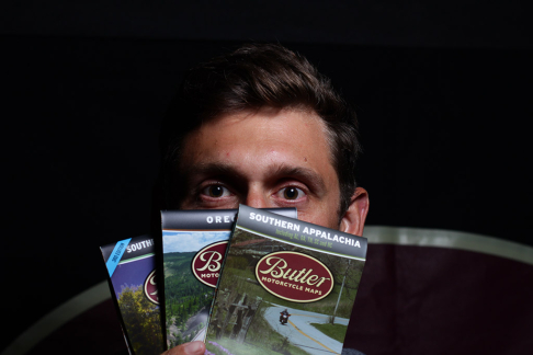
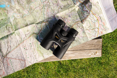
The guys from Butler Maps (www.butlermaps.com) do just that: they produce maps dedicated to motorcyclists, for travelling on the road and also off-road. Their maps are waterproof, easy to fold and contain a wealth of interesting itineraries. Each map is dedicated to a state or a specific region of the USA and now, they also cover practically every location in the State of Mississippi that is worth a visit. In addition, there are maps available featuring “mythical” areas such as the Southern Appalachians while other areas have already been partially traced but not yet completed for example New England and New York State.
At a trade show in the US we had the opportunity to interview Justin Bradshaw, one of the founding members of Butler Maps and talking to him gave us a very interesting view of the company.
How does the mapping process work? Do you select an area and then ride there by motorcycle?
After selecting the state or area for the next map, everything starts in the office where my partner literally goes through days, weeks, and months online to analyse every possible resource available. For example, the new map of Oregon started in the spring but was only completed at the end of July. But the research process started much earlier, in January. In fact, once we’ve put together all the material, we jumped in the saddle and for two months we travelled exclusively around Oregon for a total of 25,000 miles (more than 40,000 km) tracing the best roads we could cover by motorcycle. But this meant that we literally covered every single asphalt road available, even the most insignificant, but excluded the highways and residential areas, of course.
How much time elapses between the moment you locate an area and the associated map being ready for publication?
So far, Oregon has been the fastest map to create and it took us six months. Other maps have taken us a year or more, especially because of the weather which allows you to only ride from spring to autumn and then you have to stop for the winter.
Your maps are waterproof and resistant to tearing, how did you achieve this?
We decided not to laminate them like so many others do, but we use a synthetic paper called Hop-Syn that is virtually indestructible. Few printers in the world can currently impress this type of material. You can fold our maps hundred times and they always look new … and you can even take them in the shower if you want!
So how did you start?
We jumped in the saddle and after thousands of miles passing every possible road we could encounter, in 2010 we released the first map which covered Colorado. It contained all of the best asphalt roads in Colorado but we soon expanded to the Rocky Mountains and we also began to include off-road paths.
Do all maps cost the same? And how did you organise distribution?
All the maps cost $15 each. Maps are sold through our website but also through a network of BMW and Ducati dealerships. In the right areas, we are present in many small cafes and restaurants and also in most national parks: in fact, we are practically in every location where a motorcycle can be passing by.

